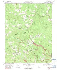
1972 Map of Nettie
USGS Topo · Published 1989About this map
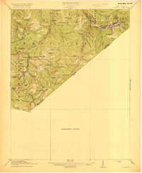
The Nettie and Leivasy communities anchor this portrait of the West Virginia coal and timber country in the early 1970s. Located along the boundary of Nicholas Co and Greenbrier Co, the landscape is defined by the steep drainage basins of Hominy Creek and the Meadow River. Small upland settlements like Odell Town and Lowland are connected by winding roads and Jeep Trail paths, reflecting the region's isolated residential patterns. Religious and community life is centered around numerous country churches, including Mt Zion Ch, Olive Branch Ch, and Downtain Chapel.
Find a feature on this map
96 named features on this map. Tap any name to fly to it.
Don’t see what you’re looking for? This feature index may not catch every label — zoom into the map to look around manually.
Map Details
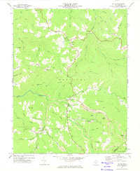
Editions of this 1972 Nettie Map
2 editions found
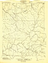
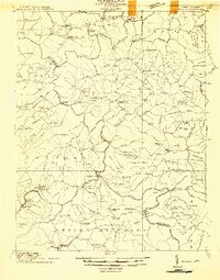
Other maps of this area

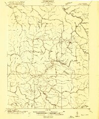
1889 · Nicholas
USGS Topo · 1:125,000

1891 · Nicholas
USGS Topo · 1:125,000

1901 · Nicholas
USGS Topo · 1:125,000
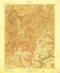
1913 · Summersville
USGS Topo · 1:48,000
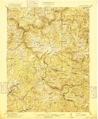
1914 · Winona
USGS Topo · 1:48,000
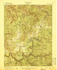
1915 · Cowen
USGS Topo · 1:48,000
1915 · Summersville
USGS Topo · 1:62,500
1916 · Winona
USGS Topo · 1:62,500
1917 · Cowen
USGS Topo · 1:62,500
1918 · Richwood
USGS Topo · 1:62,500