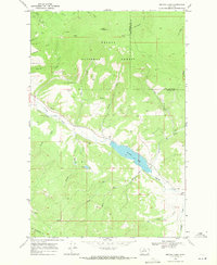
1968 Map of Nevada Lake
USGS Topo · Published 1971About this map
Helena National Forest dominates the high elevations of this Powell County terrain, where numerous drainages descend toward the reservoir at Nevada Lake. Several small Mines and a Prospect are scattered throughout the northern reaches near Ogden Mountain and Wilson Creek, indicating the persistent mineral interest that shaped this portion of the Montana landscape. The map details a complex hydraulic system including the Nevada Creek Canal and the Douglas Creek waterway, which support the valley floor below the timberline. Local landmarks such as the Gaging Sta on Nevada Creek and family-named features like Braziel Lake and Gallagher Creek provide specific points of interest for genealogists and local historians tracking the development of rural Montana in the late 1960s.
Find a feature on this map
34 named features on this map. Tap any name to fly to it.
Don’t see what you’re looking for? This feature index may not catch every label — zoom into the map to look around manually.
Map Details
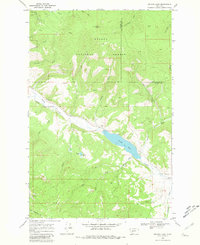
Editions of this 1968 Nevada Lake Map
2 editions found
Other maps of this area

1889 · Helena
USGS Topo · 1:250,000

1893 · Helena
USGS Topo · 1:250,000

1899 · Helena
USGS Topo · 1:250,000

1903 · Helena
USGS Topo · 1:250,000

1947 · Butte
USGS Topo · 1:250,000

1958 · Butte
USGS Topo · 1:250,000

1958 · Avon
USGS Topo · 1:62,500

1958 · Garrison
USGS Topo · 1:62,500

1960 · Butte
USGS Topo · 1:250,000

1962 · Butte
USGS Topo · 1:250,000