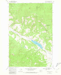
1968 Map of Nevada Lake
USGS Topo · Published 1981About this map
Helena National Forest dominates this mountain landscape in western Montana, where the terrain is marked by a complex network of drainages and early mining activity. High points like Ogden Mountain and Puzzle Gl rise above numerous unnamed prospects and several specific Mine sites located along Wilson Creek and Sauerkraut Creek. The central water feature, Nevada Lake, is fed by several tributaries including Indian Creek and Braziel Creek, which flows from the smaller Braziel Lake. The presence of the Douglas Creek Canal in the western portion of the map indicates a system of water management diverted from Nevada Creek for local agricultural or industrial use. This late-1960s survey captures the area before modern developments, showing a landscape defined by forest boundaries and the natural topography of gulches like Buffalo Gulch and Canarway Gulch.
Find a feature on this map
35 named features on this map. Tap any name to fly to it.
Don’t see what you’re looking for? This feature index may not catch every label — zoom into the map to look around manually.
Map Details
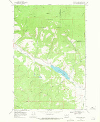
Editions of this 1968 Nevada Lake Map
2 editions found
Other maps of this area

1889 · Helena
USGS Topo · 1:250,000

1893 · Helena
USGS Topo · 1:250,000

1899 · Helena
USGS Topo · 1:250,000

1903 · Helena
USGS Topo · 1:250,000

1947 · Butte
USGS Topo · 1:250,000

1958 · Butte
USGS Topo · 1:250,000

1958 · Avon
USGS Topo · 1:62,500

1958 · Garrison
USGS Topo · 1:62,500

1960 · Butte
USGS Topo · 1:250,000

1962 · Butte
USGS Topo · 1:250,000