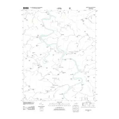
2010 Map of Nevelsville
USGS Topo · Published 2010About this map
The Big South Fork Cumberland River carves a winding path through this region, creating a landscape defined by dramatic bluffs and steep hollows. The settlement of Nevelsville and the rail-related locale of Morton Station sit amidst a network of ridges, including Day Ridge and Step Up Rock Ridge. This 2010 survey highlights the prominence of natural landmarks like Pinnacle Rock, Hens Nest Cliff, and Hanging Rock, which dominate the river's corridor alongside numerous hollows such as Patterson Hollow and Silvermine Hollow.
Find a feature on this map
106 named features on this map. Tap any name to fly to it.
Don’t see what you’re looking for? This feature index may not catch every label — zoom into the map to look around manually.
Map Details
Editions of this 2010 Nevelsville Map
This is the sole edition of this map. No revisions or reprints were ever made.
Other maps of this area

1890 · Williamsburg
USGS Topo · 1:125,000

1894 · Williamsburg
USGS Topo · 1:125,000

1932 · Burnside
USGS Topo · 1:62,500

1934 · Barthell
USGS Topo · 1:62,500

1952 · Hail
USGS Topo · 1:24,000

1952 · Wiborg
USGS Topo · 1:24,000

1952 · Whitley City
USGS Topo · 1:24,000

1953 · Frazer
USGS Topo · 1:24,000

1954 · Coopersville
USGS Topo · 1:24,000

1954 · Burnside
USGS Topo · 1:24,000