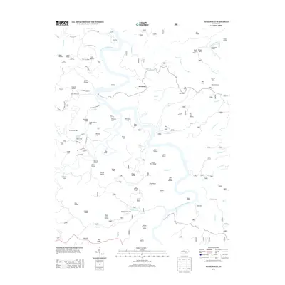
2013 Map of Nevelsville
USGS Topo · Published 2013About this map
The Big S Fork Cumberland River carves a winding path through this corner of McCreary County, creating a landscape defined by dramatic bluffs and steep hollows. The small settlement of Nevelsville sits atop a ridge overlooking the water, while further south, Morton Station marks a point along the hills. The terrain is notably marked by geological features such as Pinnacle Rock, Hens Nest Cliff, and Silvermine Cliff, reflecting the area's complex topography.
Find a feature on this map
114 named features on this map. Tap any name to fly to it.
Don’t see what you’re looking for? This feature index may not catch every label — zoom into the map to look around manually.
Map Details
Editions of this 2013 Nevelsville Map
This is the sole edition of this map. No revisions or reprints were ever made.
Other maps of this area

1890 · Williamsburg
USGS Topo · 1:125,000

1894 · Williamsburg
USGS Topo · 1:125,000

1932 · Burnside
USGS Topo · 1:62,500

1934 · Barthell
USGS Topo · 1:62,500

1952 · Hail
USGS Topo · 1:24,000

1952 · Wiborg
USGS Topo · 1:24,000

1952 · Whitley City
USGS Topo · 1:24,000

1953 · Frazer
USGS Topo · 1:24,000

1954 · Coopersville
USGS Topo · 1:24,000

1954 · Burnside
USGS Topo · 1:24,000