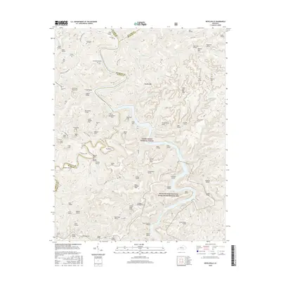
2016 Map of Nevelsville
USGS Topo · Published 2016About this map
Nevelsville sits amidst a deeply dissected landscape where the Big South Fork Cumberland River carves through the sandstone plateaus of southern Kentucky. This 2016 survey captures a region defined by its numerous family graveyards and named geological landmarks. Genealogists can trace lineage through sites like the Gran Young Graveyard, Jonesville Cem, and several Keith Cem locations associated with the local Keith family.
Find a feature on this map
118 named features on this map. Tap any name to fly to it.
Don’t see what you’re looking for? This feature index may not catch every label — zoom into the map to look around manually.
Map Details
Editions of this 2016 Nevelsville Map
This is the sole edition of this map. No revisions or reprints were ever made.
Other maps of this area

1890 · Williamsburg
USGS Topo · 1:125,000

1894 · Williamsburg
USGS Topo · 1:125,000

1932 · Burnside
USGS Topo · 1:62,500

1934 · Barthell
USGS Topo · 1:62,500

1952 · Hail
USGS Topo · 1:24,000

1952 · Wiborg
USGS Topo · 1:24,000

1952 · Whitley City
USGS Topo · 1:24,000

1953 · Frazer
USGS Topo · 1:24,000

1954 · Coopersville
USGS Topo · 1:24,000

1954 · Burnside
USGS Topo · 1:24,000