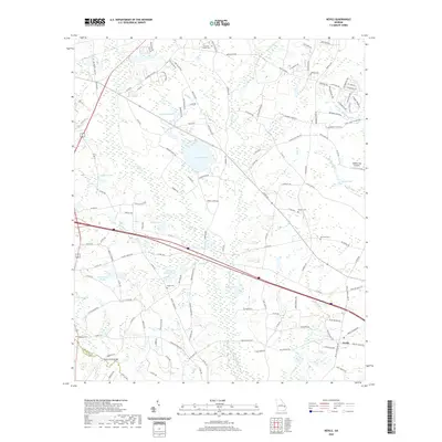
2020 Map of Nevils
USGS Topo · Published 2020About this map
Nevils serves as the primary settlement in this part of Bulloch County, situated amidst a landscape defined by an intricate network of wetlands and family-named water bodies. The terrain is characterized by the flow of Little Lotts Cr and Lotts Cr, which feed into numerous impoundments such as Hickman Pond, Kennedy Pond, and Williams Pond. This 2020 survey reveals a rural character preserved through its many small burial grounds, including Brannen - Wilson Cem and Ephesus Cem, which offer significant value for genealogical research. The presence of Southern Ag Aviation and the crossing at Scott Creek Bridge point to the area's ongoing agricultural focus, while the boundary of Bulloch Co Evans Co runs through the southwestern corner, marking the divide between these two Georgia counties.
Find a feature on this map
133 named features on this map. Tap any name to fly to it.
Don’t see what you’re looking for? This feature index may not catch every label — zoom into the map to look around manually.
Map Details
Editions of this 2020 Nevils Map
This is the sole edition of this map. No revisions or reprints were ever made.
Other maps of this area

1919 · Claxton
USGS Topo · 1:62,500

1920 · Pembroke
USGS Topo · 1:62,500

1920 · Statesboro
USGS Topo · 1:62,500

1921 · Brooklet
USGS Topo · 1:62,500

1943 · Brooklet
USGS Topo · 1:62,500

1943 · Statesboro
USGS Topo · 1:62,500

1944 · Claxton
USGS Topo · 1:62,500

1947 · Savannah
USGS Topo · 1:250,000

1948 · Savannah
USGS Topo · 1:250,000

1948 · Pembroke
USGS Topo · 1:62,500