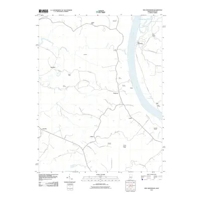
2010 Map of New Amsterdam
USGS Topo · Published 2010About this map
New Amsterdam sits along the Ohio River in this survey of the river border between Indiana and Kentucky. The landscape is defined by the winding course of Wolf Creek and Dry Fork, which carve through the high ground of Turkey Heaven Ridge and Chism Ridge. The area is dotted with small, dispersed settlements such as Battletown, Oolite, and Cedar Flat, connected by a network of winding roads like Knob Rd and Pine Ridge Rd.
Find a feature on this map
51 named features on this map. Tap any name to fly to it.
Don’t see what you’re looking for? This feature index may not catch every label — zoom into the map to look around manually.
Map Details
Editions of this 2010 New Amsterdam Map
This is the sole edition of this map. No revisions or reprints were ever made.
Other maps of this area

1928 · Hardinsburg
USGS Topo · 1:48,000

1931 · Hardinsburg
USGS Topo · 1:62,500

1931 · Corydon
USGS Topo · 1:62,500

1941 · Ekron
USGS Topo · 1:62,500

1944 · Corydon West
USGS Topo · 1:24,000

1946 · Leavenworth
USGS Topo · 1:24,000

1947 · Irvington
USGS Topo · 1:24,000

1947 · Lodiburg
USGS Topo · 1:24,000

1947 · Leavenworth
USGS Topo · 1:24,000

1947 · Corydon West
USGS Topo · 1:24,000