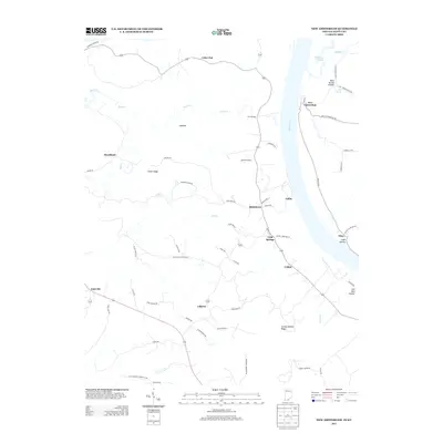
2013 Map of New Amsterdam
USGS Topo · Published 2013About this map
The Ohio River defines the winding border between Indiana and Kentucky in this 2013 survey of the New Amsterdam area. On the Indiana side, the town of New Amsterdam sits along the riverbank at the terminus of New Amsterdam Rd SW, while the interior landscape is marked by high ridges and deep hollows. Features such as Turkey Heaven Ridge, Chism Ridge, and the Buzzard Roost overlook a complex network of streams including Wolf Cr and Dry Fork.
Find a feature on this map
63 named features on this map. Tap any name to fly to it.
Don’t see what you’re looking for? This feature index may not catch every label — zoom into the map to look around manually.
Map Details
Editions of this 2013 New Amsterdam Map
This is the sole edition of this map. No revisions or reprints were ever made.
Other maps of this area

1928 · Hardinsburg
USGS Topo · 1:48,000

1931 · Hardinsburg
USGS Topo · 1:62,500

1931 · Corydon
USGS Topo · 1:62,500

1941 · Ekron
USGS Topo · 1:62,500

1944 · Corydon West
USGS Topo · 1:24,000

1946 · Leavenworth
USGS Topo · 1:24,000

1947 · Irvington
USGS Topo · 1:24,000

1947 · Lodiburg
USGS Topo · 1:24,000

1947 · Leavenworth
USGS Topo · 1:24,000

1947 · Corydon West
USGS Topo · 1:24,000