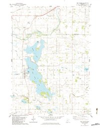
1982 Map of New Auburn
USGS Topo · Published 1983About this map
High Island Lake dominates this 1980s landscape, its sprawling waters and irregular shoreline defining the geography of eastern Sibley Co. On its western shore, the town of New Auburn serves as the local hub, while the nearby High Island Cem and Zion Cem provide critical touchpoints for family historians. The map documents a transition in the local hydrology, seen in the large drainage footprints of the Brewster Lakebed and Berge Lakebed, alongside an extensive network of managed waterways including Judicial Ditch No 19 and County DITCH NO 61.
Find a feature on this map
32 named features on this map. Tap any name to fly to it.
Don’t see what you’re looking for? This feature index may not catch every label — zoom into the map to look around manually.
Map Details
Editions of this 1982 New Auburn Map
This is the sole edition of this map. No revisions or reprints were ever made.
Other maps of this area

1953 · New Ulm
USGS Topo · 1:250,000

1957 · New Ulm
USGS Topo · 1:250,000

1958 · New Ulm
USGS Topo · 1:250,000

1958 · Gaylord
USGS Topo · 1:62,500

1958 · Glencoe
USGS Topo · 1:62,500

1958 · Winthrop
USGS Topo · 1:62,500

1958 · Hutchinson
USGS Topo · 1:62,500

1967 · New Ulm
USGS Topo · 1:250,000
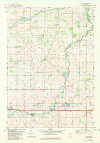
1982 · Plato
USGS Topo · 1:24,000
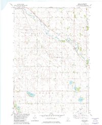
1982 · Biscay
USGS Topo · 1:24,000
Featured Places
- New Auburn, MN
- Helen Township, MN
- Ringo Mobile Home Park, New Auburn
- Glencoe Township, MN
- McLeod County, MN