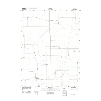
2012 Map of New Bedford
USGS Topo · Published 2012About this map
The Green River meanders through this agricultural landscape in Bureau County, defining the drainage patterns for the small prairie settlements of New Bedford, Normandy, and Deer Grove. The land is organized by a precise grid of county roads and avenues, typical of the Illinois heartland, where rural life revolves around the watercourses of Allen Creek and Crooked Creek. For those tracing family histories in the region, the map identifies local burial grounds including Fairfield Cemetery to the west and Bowen Cemetery situated near the banks of Allen Creek. A notable modern landmark is the Woodley Aerial Spray Airport, reflecting the ongoing importance of aviation to local crop management. This survey provides a clear look at the intersection of natural waterways and the rigid township and range road system during the early 21st century.
Find a feature on this map
60 named features on this map. Tap any name to fly to it.
Don’t see what you’re looking for? This feature index may not catch every label — zoom into the map to look around manually.
Map Details
Editions of this 2012 New Bedford Map
This is the sole edition of this map. No revisions or reprints were ever made.
Other maps of this area

1921 · Buda
USGS Topo · 1:62,500

1923 · Buda
USGS Topo · 1:62,500

1929 · Annawan
USGS Topo · 1:62,500

1932 · Prophetstown
USGS Topo · 1:48,000

1932 · Annawan
USGS Topo · 1:62,500

1936 · Prophetstown
USGS Topo · 1:62,500

1949 · Walnut
USGS Topo · 1:62,500

1958 · Aurora
USGS Topo · 1:250,000

1961 · Aurora
USGS Topo · 1:250,000

1982 · Harmon
USGS Topo · 1:24,000