2024 Map of New Bedford
USGS Topo · Published 2024About this map
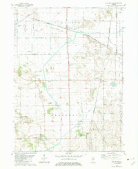
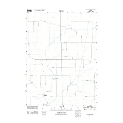
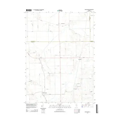
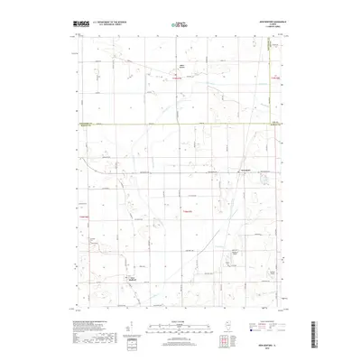
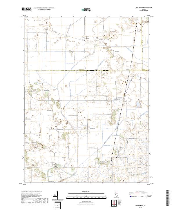
New Bedford serves as a primary settlement point at the southern edge of this Bureau County landscape, where the flat agricultural terrain is defined by an extensive network of drainage infrastructure. This engineered hydrology, including Main Ditch, Red Oak Ditch, and Baker Creek Ditch, reflects a long-standing regional effort to manage the wetlands surrounding the Green River. These channels cut through the grid of section lines and gravel roads, directing water toward natural outlets like Crooked Creek and Allen Creek.
Find a feature on this map
73 named features on this map. Tap any name to fly to it.
Don’t see what you’re looking for? This feature index may not catch every label — zoom into the map to look around manually.
Map Details
Editions of this 2024 New Bedford Map
This is the sole edition of this map. No revisions or reprints were ever made.
Historical Maps of New Bedford Through Time
6 maps found