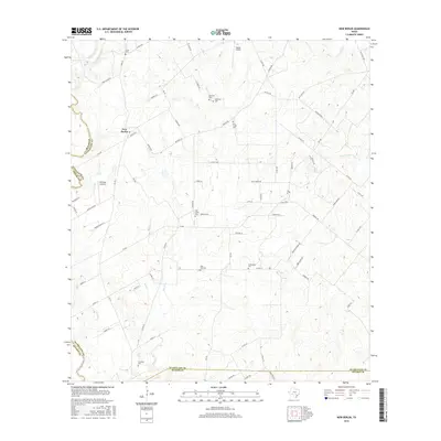
2016 Map of New Berlin
USGS Topo · Published 2016About this map
New Berlin anchors this corner of south-central Texas, where the landscape transitions between the rolling uplands and the fertile drainages of Cibolo Cr and Santa Clara Cr. This 2016 survey documents a rural heritage through an extensive network of family and community burial sites, including Linne Cem, Schmidt Cem, and Post Oak Cem. The persistence of these names along roads like Zuehl Xing Rd and Brietzke Rd reflects the deep-rooted agricultural history of the region. Local aviation is noted with the presence of Buelah Airport and Heritage Airfield, while the undulating terrain is punctuated by landmarks such as Morris Hill. The map also traces the winding courses of Elm Cr and Blue Cr, which have historically shaped the settlement patterns and property lines of the surrounding countryside.
Find a feature on this map
73 named features on this map. Tap any name to fly to it.
Don’t see what you’re looking for? This feature index may not catch every label — zoom into the map to look around manually.
Map Details
Editions of this 2016 New Berlin Map
This is the sole edition of this map. No revisions or reprints were ever made.
Other maps of this area

1911 · San Marcos
USGS Topo · 1:125,000

1919 · San Marcos
USGS Topo · 1:125,000

1920 · Smiley
USGS Topo · 1:125,000

1924 · New Braunfels No 4
USGS Topo · 1:48,000

1924 · San Marcos 3-c
USGS Topo · 1:48,000

1927 · New Braunfels
USGS Topo · 1:62,500

1930 · Seguin
USGS Topo · 1:62,500

1942 · Dewville
USGS Topo · 1:62,500

1953 · Seguin
USGS Topo · 1:250,000

1954 · San Antonio
USGS Topo · 1:250,000