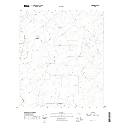
2019 Map of New Berlin
USGS Topo · Published 2019About this map
New Berlin serves as a focal point for this rural landscape in Guadalupe County, where a network of county roads and farm-to-market routes crisscrosses the terrain. The area is defined by the drainage patterns of Santa Clara Cr and its tributary, Dry Santa Clara Cr, which flow through a region historically rooted in agriculture and small-town settlement. This 2019 data synthesis by the U.S. Geological Survey reveals how the physical layout of the land, from the creek beds to the scattered homesteads and local transit corridors, maintains its character in the twenty-first century.
Find a feature on this map
3 named features on this map. Tap any name to fly to it.
Don’t see what you’re looking for? This feature index may not catch every label — zoom into the map to look around manually.
Map Details
Editions of this 2019 New Berlin Map
This is the sole edition of this map. No revisions or reprints were ever made.
Other maps of this area

1911 · San Marcos
USGS Topo · 1:125,000

1919 · San Marcos
USGS Topo · 1:125,000

1920 · Smiley
USGS Topo · 1:125,000

1924 · New Braunfels No 4
USGS Topo · 1:48,000

1924 · San Marcos 3-c
USGS Topo · 1:48,000

1927 · New Braunfels
USGS Topo · 1:62,500

1930 · Seguin
USGS Topo · 1:62,500

1942 · Dewville
USGS Topo · 1:62,500

1953 · Seguin
USGS Topo · 1:250,000

1954 · San Antonio
USGS Topo · 1:250,000