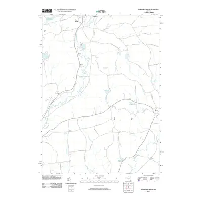
2010 Map of New Berlin South
USGS Topo · Published 2010About this map
The Unadilla River carves a deep path through this Chenango County landscape, serving as a primary corridor for both transportation and settlement. Near the northern boundary, New Berlin sits at the confluence with Wharton Creek, while the river valley southwards is punctuated by historic transit points like Sages Crossing and Davis Crossing. The terrain is defined by significant elevations, including Shacktown Mountain and West Hill, which separate the river valley from the plateau to the east.
Find a feature on this map
74 named features on this map. Tap any name to fly to it.
Don’t see what you’re looking for? This feature index may not catch every label — zoom into the map to look around manually.
Map Details
Editions of this 2010 New Berlin South Map
This is the sole edition of this map. No revisions or reprints were ever made.
Other maps of this area
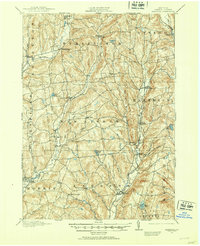
1910 · Hartwick
USGS Topo · 1:62,500
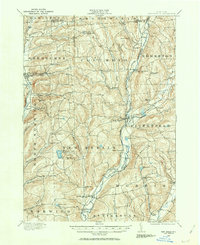
1910 · New Berlin
USGS Topo · 1:62,500
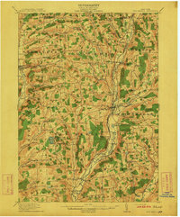
1912 · New Berlin
USGS Topo · 1:62,500
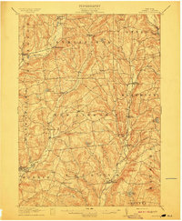
1912 · Hartwick
USGS Topo · 1:62,500
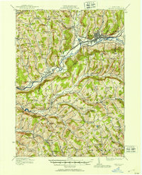
1915 · Oneonta
USGS Topo · 1:62,500
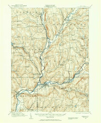
1915 · Unadilla
USGS Topo · 1:62,500
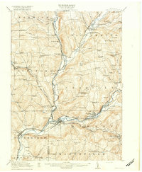
1918 · Unadilla
USGS Topo · 1:62,500
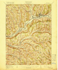
1918 · Oneonta
USGS Topo · 1:62,500
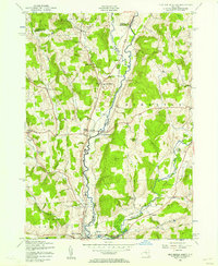
1943 · New Berlin North
USGS Topo · 1:24,000
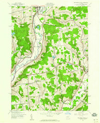
1943 · New Berlin South
USGS Topo · 1:24,000