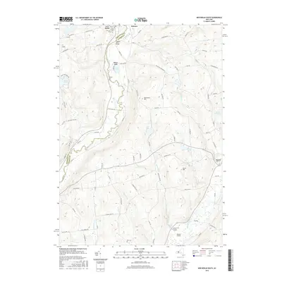
2016 Map of New Berlin South
USGS Topo · Published 2016About this map
The Unadilla River forms a winding natural boundary between Chenango and Otsego Counties, defining the agricultural and wooded character of this central New York landscape. To the west, Hunts Pond State Park and Hunt Pond sit among the high ground of W Hill, while the valley floor supports the village of New Berlin and the small settlement of Hoboken. The eastern uplands are marked by the notable elevation of Shacktown Mtn and Harris Hill, with drainage flowing through Morris Brook toward the village of Morris. Genealogists will find a wealth of family history preserved in numerous burial sites, including the Morris Family Burying Ground, Scribner Cem, and Mann Cem. This 2016 record shows the enduring rural layout of Dimock Hollow and the waters of the Morris Reservoir before modern development could further alter these historic farmsteads and waterways.
Find a feature on this map
87 named features on this map. Tap any name to fly to it.
Don’t see what you’re looking for? This feature index may not catch every label — zoom into the map to look around manually.
Map Details
Editions of this 2016 New Berlin South Map
This is the sole edition of this map. No revisions or reprints were ever made.
Other maps of this area

1910 · Hartwick
USGS Topo · 1:62,500

1910 · New Berlin
USGS Topo · 1:62,500

1912 · New Berlin
USGS Topo · 1:62,500

1912 · Hartwick
USGS Topo · 1:62,500

1915 · Oneonta
USGS Topo · 1:62,500

1915 · Unadilla
USGS Topo · 1:62,500

1918 · Unadilla
USGS Topo · 1:62,500

1918 · Oneonta
USGS Topo · 1:62,500

1943 · New Berlin North
USGS Topo · 1:24,000

1943 · New Berlin South
USGS Topo · 1:24,000