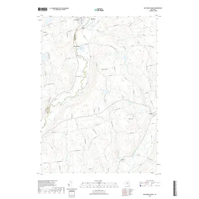
2019 Map of New Berlin South
USGS Topo · Published 2019About this map
The Unadilla River forms a significant geographical divide, separating Chenango Co from Otsego Co as it meanders through this Central New York landscape. Settlement patterns are concentrated along the river valley and the shores of Silver Lake, with the village of New Berlin at the northern edge and Morris to the southeast. For genealogists, the map is remarkably detailed, identifying several historic interments including Saint Andrew's Cem, Fairview Cem, and the more secluded Morris Family Burial Ground.
Find a feature on this map
93 named features on this map. Tap any name to fly to it.
Don’t see what you’re looking for? This feature index may not catch every label — zoom into the map to look around manually.
Map Details
Editions of this 2019 New Berlin South Map
This is the sole edition of this map. No revisions or reprints were ever made.
Other maps of this area

1910 · Hartwick
USGS Topo · 1:62,500

1910 · New Berlin
USGS Topo · 1:62,500

1912 · New Berlin
USGS Topo · 1:62,500

1912 · Hartwick
USGS Topo · 1:62,500

1915 · Oneonta
USGS Topo · 1:62,500

1915 · Unadilla
USGS Topo · 1:62,500

1918 · Unadilla
USGS Topo · 1:62,500

1918 · Oneonta
USGS Topo · 1:62,500

1943 · New Berlin North
USGS Topo · 1:24,000

1943 · New Berlin South
USGS Topo · 1:24,000