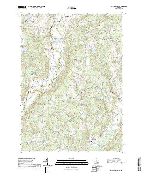
2023 Map of New Berlin South
USGS Topo · Published 2023About this map
The Unadilla River and Wharton Creek define the western boundaries of this modern survey, where the village of New Berlin sits near the junction of Chenango Co and Otsego Co. The landscape is characterized by high ridges like West Hill and Shacktown Mountain, with settlements such as Hoboken and Silver Lake established along the valley floors. For genealogists, the map provides precise locations for several notable resting places, including the Morris Family Burial Ground near Morris Pond and the older Saint Andrew's Cem.
Find a feature on this map
84 named features on this map. Tap any name to fly to it.
Don’t see what you’re looking for? This feature index may not catch every label — zoom into the map to look around manually.
Map Details
Editions of this 2023 New Berlin South Map
This is the sole edition of this map. No revisions or reprints were ever made.
Other maps of this area

1910 · Hartwick
USGS Topo · 1:62,500

1910 · New Berlin
USGS Topo · 1:62,500

1912 · New Berlin
USGS Topo · 1:62,500

1912 · Hartwick
USGS Topo · 1:62,500

1915 · Oneonta
USGS Topo · 1:62,500

1915 · Unadilla
USGS Topo · 1:62,500

1918 · Unadilla
USGS Topo · 1:62,500

1918 · Oneonta
USGS Topo · 1:62,500

1943 · New Berlin North
USGS Topo · 1:24,000

1943 · New Berlin South
USGS Topo · 1:24,000