2024 Map of New Blaine
USGS Topo · Published 2024About this map
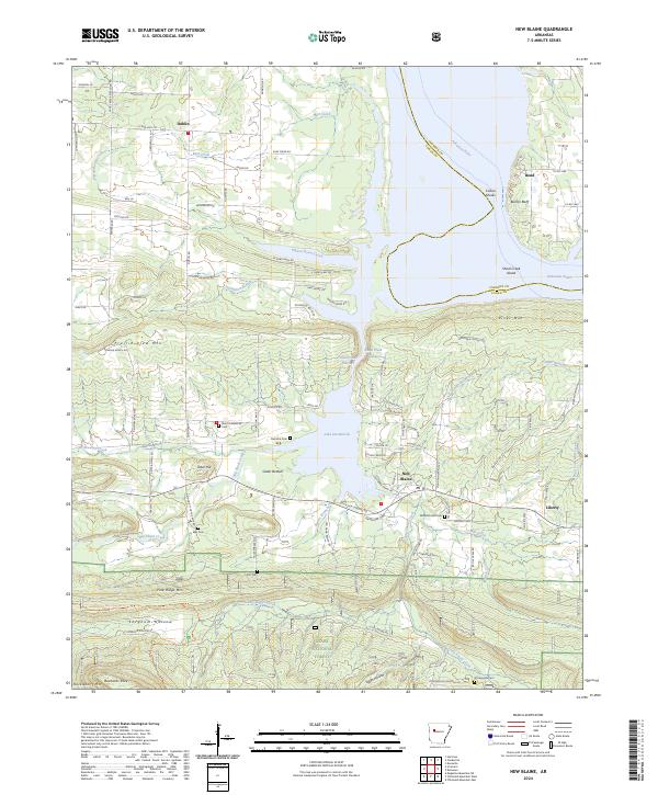
Lake Dardanelle dominates the central landscape of this Logan County region, where the Arkansas River carves through the terrain between River Mtn and Pine Ridge Mtn. The settlement of New Blaine sits just south of the Shoal Creek Narrows, serving as a focal point for a rural network of roads like Old Military Rd and Billy Jack Landing Rd. This area reflects a long-standing pattern of upland agricultural and timber life, with the southern reaches of the map transitioning into the protected timberlands of the Ozark National Forest. Local history is preserved in numerous family and community burial grounds, including the Saint Scholastica Cem and Elizabeth Hall Cem, which offer significant value for genealogists tracing families in the Dublin and Liberty vicinities. The terrain is marked by distinctive hollows and ridges, such as Sorghum Hollow and Huckleberry Mtn, illustrating the complex topography of the Arkansas River Valley.
Find a feature on this map
111 named features on this map. Tap any name to fly to it.
Don’t see what you’re looking for? This feature index may not catch every label — zoom into the map to look around manually.
Map Details
Editions of this 2024 New Blaine Map
This is the sole edition of this map. No revisions or reprints were ever made.
Historical Maps of Saint Scholastica Through Time
3 maps found