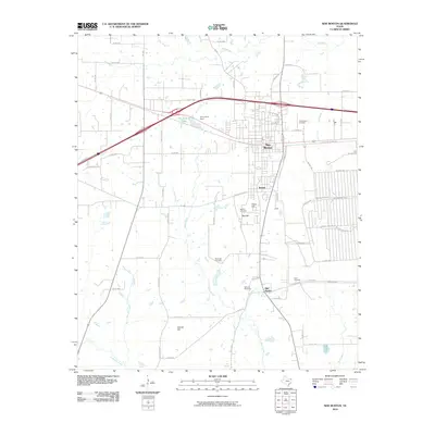
2010 Map of New Boston
USGS Topo · Published 2010About this map
New Boston, Boston, and Old Boston create a unique trio of settlement centers in this portion of Bowie County. The landscape is defined by the legacy of the Texas and Pacific Railway, evidenced by the Old T and P Lake and the Old T and P Dam situated just west of the main town center. This area serves as a significant crossroads where major regional thoroughfares intersect with a dense network of local routes like FM 3378 and FM 992. Local genealogy is well-represented through several family-named burial grounds, including the Rea Hill Cemetery, McWright Cemetery, and Barfield Cemetery. The terrain is characterized by modest elevations such as Rea Hill and Adams Hill, with numerous waterways including Red Bayou and Rice Creek draining the territory toward the south and east.
Find a feature on this map
73 named features on this map. Tap any name to fly to it.
Don’t see what you’re looking for? This feature index may not catch every label — zoom into the map to look around manually.
Map Details
Editions of this 2010 New Boston Map
This is the sole edition of this map. No revisions or reprints were ever made.
Other maps of this area

1909 · New Boston
USGS Topo · 1:62,500

1930 · Bassett
USGS Topo · 1:62,500

1950 · Redbank
USGS Topo · 1:24,000

1950 · De Kalb
USGS Topo · 1:24,000

1951 · De Kalb
USGS Topo · 1:24,000

1951 · Redbank
USGS Topo · 1:24,000

1951 · Daniels Chapel
USGS Topo · 1:24,000

1953 · Texarkana
USGS Topo · 1:250,000

1954 · New Boston
USGS Topo · 1:24,000

1954 · Hooks
USGS Topo · 1:24,000