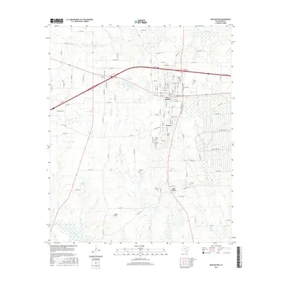
2016 Map of New Boston
USGS Topo · Published 2016About this map
New Boston and its namesake neighbors represent a shifting center of gravity in Bowie County, as seen in this 2016 survey. The map records a trio of settlements — New Boston, Boston, and Old Boston — that trace the community's local migration over generations. To the south, the Boston Chalybeate Springs remains a distinctive landmark of the area's geological and social history, while Glass Hill and Rea Hill rise above the surrounding creek-cut terrain.
Find a feature on this map
115 named features on this map. Tap any name to fly to it.
Don’t see what you’re looking for? This feature index may not catch every label — zoom into the map to look around manually.
Map Details
Editions of this 2016 New Boston Map
This is the sole edition of this map. No revisions or reprints were ever made.
Other maps of this area

1909 · New Boston
USGS Topo · 1:62,500

1930 · Bassett
USGS Topo · 1:62,500

1950 · Redbank
USGS Topo · 1:24,000

1950 · De Kalb
USGS Topo · 1:24,000

1951 · De Kalb
USGS Topo · 1:24,000

1951 · Redbank
USGS Topo · 1:24,000

1951 · Daniels Chapel
USGS Topo · 1:24,000

1953 · Texarkana
USGS Topo · 1:250,000

1954 · New Boston
USGS Topo · 1:24,000

1954 · Hooks
USGS Topo · 1:24,000