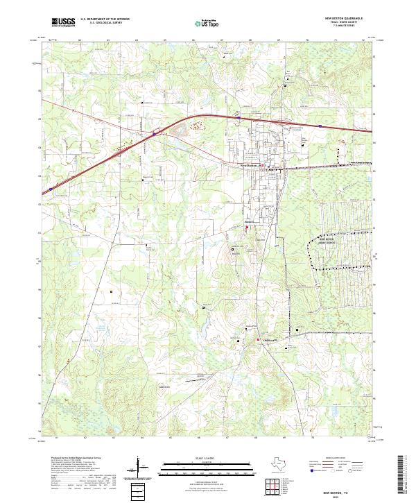
2022 Map of New Boston
USGS Topo · Published 2022About this map
The Bowie County Courthouse stands as a central landmark in New Boston, surrounded by a landscape that preserves the distinct identities of several generations of settlement. To the south, the community of Old Boston and the smaller enclave of Glass Hill reveal the historical progression of the region, while natural features like Boston Chalybeate Springs point to earlier local landmarks. The area is heavily marked by its genealogical record, with numerous burial sites including Red Bayou Cem, Godley Prairie Cem, and Shipp Cem distributed across the terrain.
Find a feature on this map
137 named features on this map. Tap any name to fly to it.
Don’t see what you’re looking for? This feature index may not catch every label — zoom into the map to look around manually.
Map Details
Editions of this 2022 New Boston Map
This is the sole edition of this map. No revisions or reprints were ever made.
Other maps of this area

1909 · New Boston
USGS Topo · 1:62,500

1930 · Bassett
USGS Topo · 1:62,500

1950 · Redbank
USGS Topo · 1:24,000

1950 · De Kalb
USGS Topo · 1:24,000

1951 · De Kalb
USGS Topo · 1:24,000

1951 · Redbank
USGS Topo · 1:24,000

1951 · Daniels Chapel
USGS Topo · 1:24,000

1953 · Texarkana
USGS Topo · 1:250,000

1954 · New Boston
USGS Topo · 1:24,000

1954 · Hooks
USGS Topo · 1:24,000