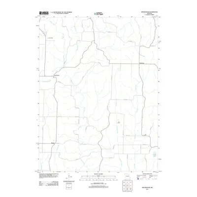
2012 Map of New Boston
USGS Topo · Published 2012About this map
Mussel Fork and its numerous tributaries, including Little Brush Creek and Badger Creek, define the drainage patterns of this Linn County landscape. The settlement of New Boston sits centrally along the New Boston Branch, serving as a primary point of reference alongside Goldsberry to the east and Benson to the south. This 2012 survey illustrates a rural environment where local history is anchored by sites like White Cemetery and Bell Cemetery, which provide vital touchstones for genealogical research in the region.
Find a feature on this map
44 named features on this map. Tap any name to fly to it.
Don’t see what you’re looking for? This feature index may not catch every label — zoom into the map to look around manually.
Map Details
Editions of this 2012 New Boston Map
This is the sole edition of this map. No revisions or reprints were ever made.
Other maps of this area

1937 · Elmer
USGS Topo · 1:48,000

1938 · Kirksville
USGS Topo · 1:62,500

1940 · Kirksville
USGS Topo · 1:62,500

1942 · Elmer
USGS Topo · 1:62,500

1949 · Bucklin
USGS Topo · 1:24,000

1949 · Bucklin NW
USGS Topo · 1:24,000

1950 · Bucklin
USGS Topo · 1:24,000

1950 · New Cambria West
USGS Topo · 1:24,000

1950 · Bucklin NW
USGS Topo · 1:24,000

1951 · New Boston
USGS Topo · 1:24,000