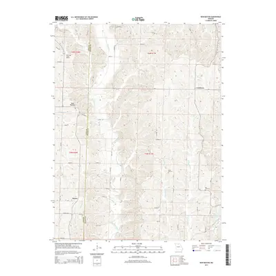
2014 Map of New Boston
USGS Topo · Published 2014About this map
New Boston serves as a focal point in this 2014 survey of the rural borderlands between Linn and Macon Counties. The landscape is defined by the winding course of the Mussel Fork, which flows southward through the center of the quadrangle, joined by tributaries such as New Boston Br and Badger Cr. This area maintains its agricultural character, evidenced by the presence of Oak Ridge Farms Airport and the dispersed settlements of Goldsberry and Benson.
Find a feature on this map
61 named features on this map. Tap any name to fly to it.
Don’t see what you’re looking for? This feature index may not catch every label — zoom into the map to look around manually.
Map Details
Editions of this 2014 New Boston Map
This is the sole edition of this map. No revisions or reprints were ever made.
Other maps of this area

1937 · Elmer
USGS Topo · 1:48,000

1938 · Kirksville
USGS Topo · 1:62,500

1940 · Kirksville
USGS Topo · 1:62,500

1942 · Elmer
USGS Topo · 1:62,500

1949 · Bucklin
USGS Topo · 1:24,000

1949 · Bucklin NW
USGS Topo · 1:24,000

1950 · Bucklin
USGS Topo · 1:24,000

1950 · New Cambria West
USGS Topo · 1:24,000

1950 · Bucklin NW
USGS Topo · 1:24,000

1951 · New Boston
USGS Topo · 1:24,000