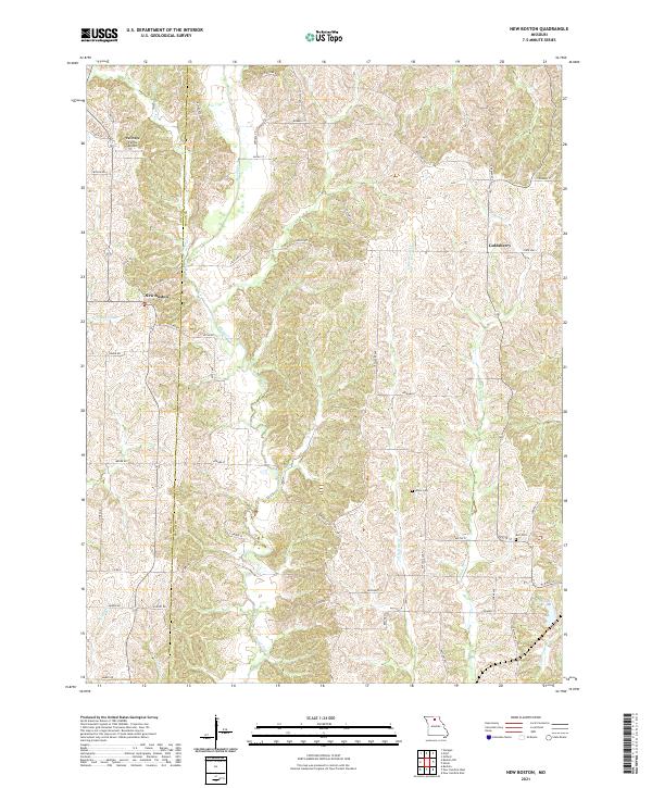
2021 Map of New Boston
USGS Topo · Published 2021About this map
New Boston and Goldsberry serve as the primary focal points of this North Central Missouri landscape, situated along the county line between Linn Co and Macon Co. The terrain is defined by a dense network of waterways including Mussel Fork, Little Brush Cr, and Brush Cr, which carve through the land in a series of wooded ridges and valleys. Evidence of rural life is found at White Cem and Bell Cem, while the inclusion of Ethel Lake in the southeast corner indicates local water resources and recreation.
Find a feature on this map
45 named features on this map. Tap any name to fly to it.
Don’t see what you’re looking for? This feature index may not catch every label — zoom into the map to look around manually.
Map Details
Editions of this 2021 New Boston Map
This is the sole edition of this map. No revisions or reprints were ever made.
Other maps of this area

1937 · Elmer
USGS Topo · 1:48,000

1938 · Kirksville
USGS Topo · 1:62,500

1940 · Kirksville
USGS Topo · 1:62,500

1942 · Elmer
USGS Topo · 1:62,500

1949 · Bucklin
USGS Topo · 1:24,000

1949 · Bucklin NW
USGS Topo · 1:24,000

1950 · Bucklin
USGS Topo · 1:24,000

1950 · New Cambria West
USGS Topo · 1:24,000

1950 · Bucklin NW
USGS Topo · 1:24,000

1951 · New Boston
USGS Topo · 1:24,000