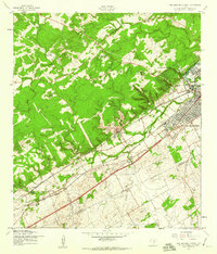
1958 Map of New Braunfels West
USGS Topo · Published 1961About this map
New Braunfels and its westward expansion are captured here in the late 1950s, a period when the industrial and agricultural identity of Comal and Guadalupe counties was clearly defined by rail and ranching. Two major rail lines, the Missouri Pacific and Kansas City Southern, bisect the landscape, creating a corridor of activity that includes the community of Dittlinger and smaller settlements like Solms and Corbyn.
Find a feature on this map
24 named features on this map. Tap any name to fly to it.
Don’t see what you’re looking for? This feature index may not catch every label — zoom into the map to look around manually.
Map Details
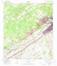
Editions of this 1958 New Braunfels West Map
2 editions found
Other maps of this area

1920 · Smithsons Valley
USGS Topo · 1:62,500

1924 · New Braunfels No 4
USGS Topo · 1:48,000

1925 · New Braunfels No 1
USGS Topo · 1:48,000

1925 · Hunter No 3
USGS Topo · 1:48,000

1927 · New Braunfels
USGS Topo · 1:62,500

1927 · Smithson Valley
USGS Topo · 1:62,500

1929 · Hunter
USGS Topo · 1:62,500

1929 · Smithson Valley
USGS Topo · 1:62,500

1940 · Smithson Valley
USGS Topo · 1:62,500

1953 · Schertz
USGS Topo · 1:24,000
Featured Places
- New Braunfels, TX
- Schertz, TX
- Santa Clara, TX
- Bavarian Village, New Braunfels
- Landa Park Estates, New Braunfels