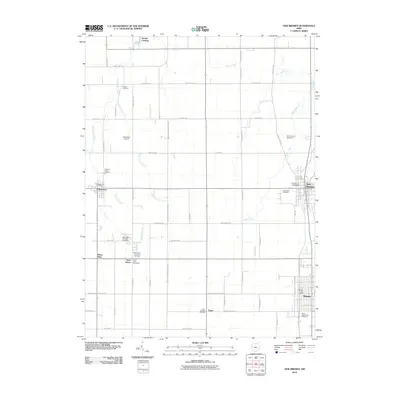
2010 Map of New Bremen
USGS Topo · Published 2010About this map
New Bremen serves as the primary hub in this western Ohio landscape, showing the town's dense residential grid and industrial footprints as they appeared in the early 21st century. The map details a highly organized agricultural region defined by a rigid network of county roads and drainage systems, where small settlements like Chickasaw anchor the surrounding rural community. To the north, Hechts Landing provides a specialized point of interest along the water, reflecting the local importance of recreational access to the nearby lake. The land-use patterns here reveal a mature agrarian economy that has transitioned into the modern era while maintaining the distinct, compact footprints of its historic village centers.
Find a feature on this map
3 named features on this map. Tap any name to fly to it.
Don’t see what you’re looking for? This feature index may not catch every label — zoom into the map to look around manually.
Map Details
Editions of this 2010 New Bremen Map
This is the sole edition of this map. No revisions or reprints were ever made.
Other maps of this area

1908 · St. Henry
USGS Topo · 1:62,500

1909 · Loramie
USGS Topo · 1:62,500

1911 · Loramie
USGS Topo · 1:62,500

1911 · Spencerville
USGS Topo · 1:62,500

1914 · Celina
USGS Topo · 1:62,500

1944 · Loramie
USGS Topo · 1:62,500

1944 · Celina
USGS Topo · 1:62,500

1944 · Spencerville
USGS Topo · 1:62,500

1953 · Muncie
USGS Topo · 1:250,000

1956 · Muncie
USGS Topo · 1:250,000