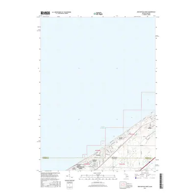
2017 Map of New Buffalo West
USGS Topo · Published 2017About this map
The shore of Lake Michigan defines this borderlands region where the southwestern tip of Michigan meets northern Indiana. New Buffalo serves as a focal point at the map's northern edge, characterized by a dense residential grid including streets like W Detroit St and N Eagle St. Further south, the landscape transitions into a series of coastal communities including Grand Beach, Michiana, and Michiana Shores, which are tightly packed between the lakefront and the state line. Genealogists may find interest in the location of Pine Grove Cem situated just outside the New Buffalo town center.
Find a feature on this map
54 named features on this map. Tap any name to fly to it.
Don’t see what you’re looking for? This feature index may not catch every label — zoom into the map to look around manually.
Map Details
Editions of this 2017 New Buffalo West Map
This is the sole edition of this map. No revisions or reprints were ever made.
Other maps of this area

1930 · Three Oaks
USGS Topo · 1:62,500

1944 · Three Oaks
USGS Topo · 1:62,500

1953 · Michigan City West
USGS Topo · 1:24,000

1953 · Chicago
USGS Topo · 1:250,000

1957 · Chicago
USGS Topo · 1:250,000

1958 · Michigan City East
USGS Topo · 1:24,000

1958 · Springville
USGS Topo · 1:24,000
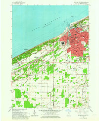
1962 · Michigan City West
USGS Topo · 1:24,000
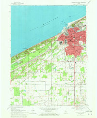
1969 · Michigan City West
USGS Topo · 1:24,000
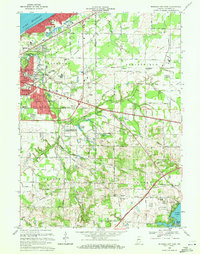
1969 · Michigan City East
USGS Topo · 1:24,000