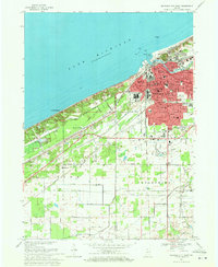
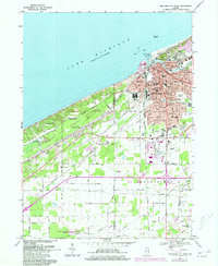
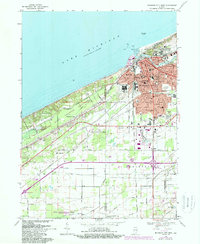
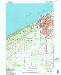
1969 Map of Michigan City West
USGS Topo · Published 1971About this map
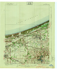
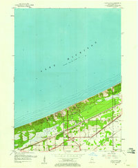
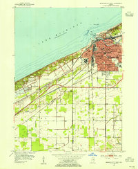
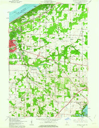
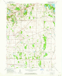
Lake Michigan dominates the northern horizon of this Lake Porter and LaPorte County borderland, where the industrial and civic core of Michigan City meets the dunes. The map reveals a densely organized urban center featuring the State Prison, City Hall, and several religious and educational institutions like St Johns Ch and Marquette High Sch. To the west, the residential patterns of Beverly Shores and the Town of Pines emerge along the lakeshore, connected by a complex web of transport infrastructure. A heavy concentration of rail lines, including the Chicago South Shore and South Bend RR and Monon RR, underscores the area's importance as a regional transit hub. Further south, the landscape transitions into a grid of rural roads and drainage features such as Brown Ditch, illustrating the mid-century intersection of lakeside industry, urban development, and agricultural management.
Find a feature on this map
85 named features on this map. Tap any name to fly to it.
Don’t see what you’re looking for? This feature index may not catch every label — zoom into the map to look around manually.
Map Details
Editions of this 1969 Michigan City West Map
4 editions found
Other maps of this area
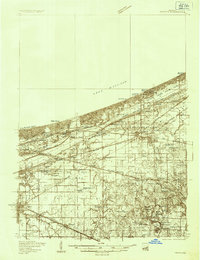
1934 · Porter
USGS Topo · 1:48,000
1940 · Porter
USGS Topo · 1:62,500
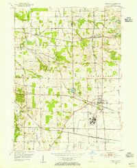
1953 · Westville
USGS Topo · 1:24,000
1953 · Chesterton
USGS Topo · 1:24,000
1953 · Dune Acres
USGS Topo · 1:24,000
1953 · Michigan City West
USGS Topo · 1:24,000

1953 · Chicago
USGS Topo · 1:250,000

1957 · Chicago
USGS Topo · 1:250,000
1958 · Michigan City East
USGS Topo · 1:24,000
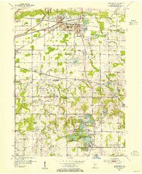
1961 · La Porte West
USGS Topo · 1:24,000