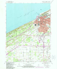
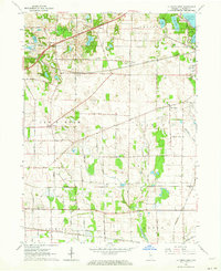
1969 Map of Michigan City West
USGS Topo · Published 1989About this map
Washington Park and its Lookout Tower anchor the lakefront of Michigan City in this mid-century topographic record. The map details a complex industrial and transport corridor where the Conrail and Chicago South Bend and South Shore railroads parallel the coast. The urban fabric is dense with institutional history, from the prominent State Prison and Municipal Airport to numerous parochial and public institutions like St Marys Sch and Eaton High Sch.
Find a feature on this map
58 named features on this map. Tap any name to fly to it.
Don’t see what you’re looking for? This feature index may not catch every label — zoom into the map to look around manually.
Map Details
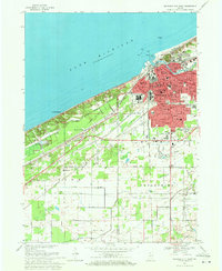
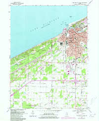
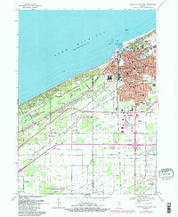
Editions of this 1969 Michigan City West Map
4 editions found
Other maps of this area

1934 · Porter
USGS Topo · 1:48,000

1940 · Porter
USGS Topo · 1:62,500

1953 · Westville
USGS Topo · 1:24,000

1953 · Chesterton
USGS Topo · 1:24,000

1953 · Dune Acres
USGS Topo · 1:24,000

1953 · Michigan City West
USGS Topo · 1:24,000

1953 · Chicago
USGS Topo · 1:250,000

1957 · Chicago
USGS Topo · 1:250,000

1958 · Michigan City East
USGS Topo · 1:24,000
1961 · La Porte West
USGS Topo · 1:24,000