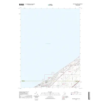
2019 Map of New Buffalo West
USGS Topo · Published 2019About this map
The Lake Michigan shoreline serves as the defining border for a series of closely linked coastal communities straddling the Michigan Indiana state line. This 2019 survey captures the residential density and complex road networks of the southern shore, where New Buffalo and Michiana sit at the northern edge in Berrien County. To the south, the map details the LaPorte County settlements of Michiana Shores, Duneland Beach, and the northern reaches of Michigan City. The landscape is characterized by a high concentration of recreational and residential development, evidenced by the intricate street grids and labels such as Pine Grove Cem. Unlike more rural areas, this map focuses on the modern infrastructure that has grown around these historic lakeside destinations, showing the preservation of traditional names alongside contemporary thoroughfares like Grand Beach Rd and W 1000 N.
Find a feature on this map
62 named features on this map. Tap any name to fly to it.
Don’t see what you’re looking for? This feature index may not catch every label — zoom into the map to look around manually.
Map Details
Editions of this 2019 New Buffalo West Map
This is the sole edition of this map. No revisions or reprints were ever made.
Other maps of this area

1930 · Three Oaks
USGS Topo · 1:62,500

1944 · Three Oaks
USGS Topo · 1:62,500

1953 · Michigan City West
USGS Topo · 1:24,000

1953 · Chicago
USGS Topo · 1:250,000

1957 · Chicago
USGS Topo · 1:250,000

1958 · Michigan City East
USGS Topo · 1:24,000

1958 · Springville
USGS Topo · 1:24,000
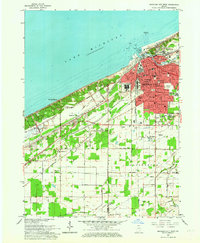
1962 · Michigan City West
USGS Topo · 1:24,000
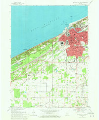
1969 · Michigan City West
USGS Topo · 1:24,000
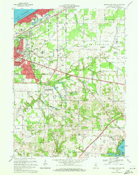
1969 · Michigan City East
USGS Topo · 1:24,000