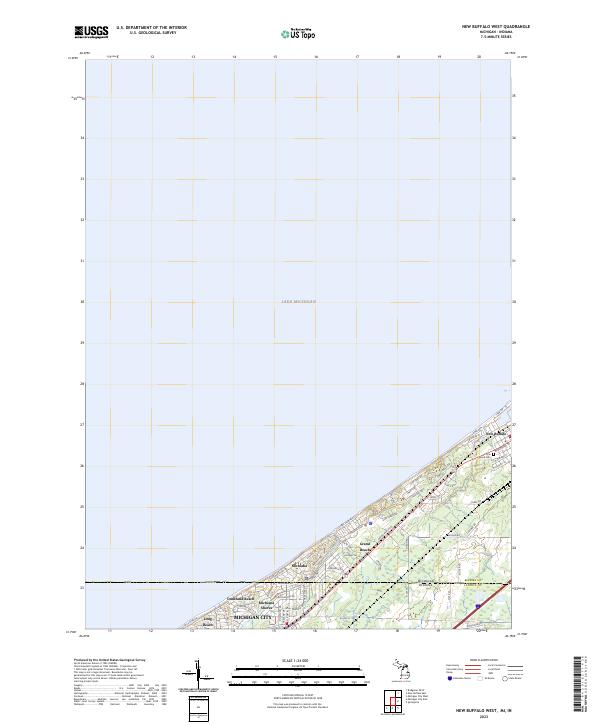
2023 Map of New Buffalo West
USGS Topo · Published 2023About this map
Lake Michigan dominates the northwestern horizon of this 2023 survey, framing a string of coastal communities along the state line between Michigan and Indiana. The shoreline is densely populated with distinct settlements like New Buffalo, Grand Beach, and Michiana, each defined by a grid of residential streets such as Hillside Trl and Ponchartrain Dr. This modern data shows the intricate transition from the lakefront dunes to the settled neighborhoods of Duneland Beach and Michiana Shores. Farther south, the map captures the outskirts of Michigan City, where the urban landscape meets the border of Berrien Co and LaPorte Co. Genealogists and local historians can use this detailed view to trace the modern layout of family burial sites at Pine Grove Cem or identify the evolution of regional thoroughfares like Lake Dr and Shore Dr that serve this popular coastal region.
Find a feature on this map
49 named features on this map. Tap any name to fly to it.
Don’t see what you’re looking for? This feature index may not catch every label — zoom into the map to look around manually.
Map Details
Editions of this 2023 New Buffalo West Map
This is the sole edition of this map. No revisions or reprints were ever made.
Other maps of this area

1930 · Three Oaks
USGS Topo · 1:62,500

1944 · Three Oaks
USGS Topo · 1:62,500

1953 · Michigan City West
USGS Topo · 1:24,000

1953 · Chicago
USGS Topo · 1:250,000

1957 · Chicago
USGS Topo · 1:250,000

1958 · Michigan City East
USGS Topo · 1:24,000

1958 · Springville
USGS Topo · 1:24,000
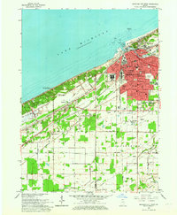
1962 · Michigan City West
USGS Topo · 1:24,000
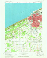
1969 · Michigan City West
USGS Topo · 1:24,000
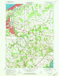
1969 · Michigan City East
USGS Topo · 1:24,000