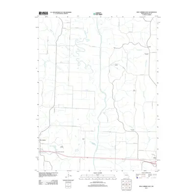
2012 Map of New Cambria East
USGS Topo · Published 2012About this map
The Chariton River meanders through this portion of Macon County, defining a landscape of riparian corridors and agricultural land between the small settlements of New Cambria and Callao. The area is marked by numerous watercourses, including the curiously named Stinking Creek and the bifurcating paths of Ward Branch and Elam Creek. For those tracing local history, several burial grounds are preserved across the countryside, such as Mount Zion Cemetery and Old Chariton Cemetery, the latter situated near the community of Cash. Near the western edge, New Cambria Lake and its associated New Cambria Lake Dam offer a significant break in the terrain. The map reflects a highly organized rural grid, where roads like Foghorn Ave and Ebony Ave provide access to smaller localities such as Kern and Dodd, illustrating the enduring pattern of Missouri's township and range settlement.
Find a feature on this map
57 named features on this map. Tap any name to fly to it.
Don’t see what you’re looking for? This feature index may not catch every label — zoom into the map to look around manually.
Map Details
Editions of this 2012 New Cambria East Map
This is the sole edition of this map. No revisions or reprints were ever made.
Other maps of this area

1937 · Elmer
USGS Topo · 1:48,000

1942 · Elmer
USGS Topo · 1:62,500

1950 · New Cambria West
USGS Topo · 1:24,000

1951 · New Boston
USGS Topo · 1:24,000

1953 · Moberly
USGS Topo · 1:250,000

1953 · Bevier South
USGS Topo · 1:24,000

1953 · Lagonda
USGS Topo · 1:24,000

1953 · Wien
USGS Topo · 1:24,000

1954 · Moberly
USGS Topo · 1:250,000

1957 · Moberly
USGS Topo · 1:250,000