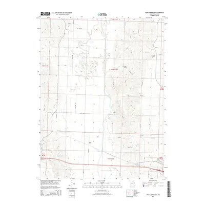
2014 Map of New Cambria East
USGS Topo · Published 2014About this map
The Chariton River valley dominates this portion of Macon County, where the river's meandering course is flanked by a network of drainage systems including White Oak Creek, Painter Creek, and Elam Creek. The rural landscape is defined by its small settlements and scattered historic burial grounds, which offer significant value for genealogical research in north-central Missouri. Small population centers like Cash in the northeast and Kern further south are connected by a grid of named local roads such as Dolphin Avenue and Foghorn Avenue. The terrain is also home to several distinct cemeteries, such as the Old Chariton Cemetery and Mount Zion Cemetery, which serve as permanent markers of the area's early family heritage. To the southwest, New Cambria Lake provides a notable water feature amidst the agricultural sections and forested creek bottoms.
Find a feature on this map
60 named features on this map. Tap any name to fly to it.
Don’t see what you’re looking for? This feature index may not catch every label — zoom into the map to look around manually.
Map Details
Editions of this 2014 New Cambria East Map
This is the sole edition of this map. No revisions or reprints were ever made.
Other maps of this area

1937 · Elmer
USGS Topo · 1:48,000

1942 · Elmer
USGS Topo · 1:62,500

1950 · New Cambria West
USGS Topo · 1:24,000

1951 · New Boston
USGS Topo · 1:24,000

1953 · Moberly
USGS Topo · 1:250,000

1953 · Bevier South
USGS Topo · 1:24,000

1953 · Lagonda
USGS Topo · 1:24,000

1953 · Wien
USGS Topo · 1:24,000

1954 · Moberly
USGS Topo · 1:250,000

1957 · Moberly
USGS Topo · 1:250,000