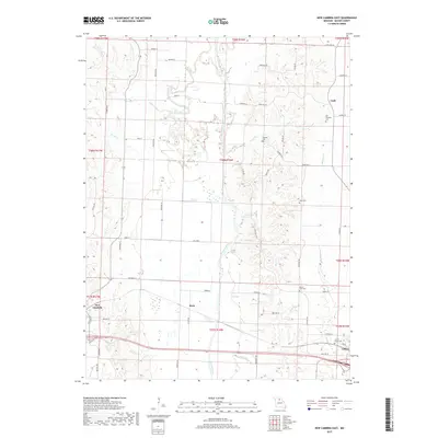
2017 Map of New Cambria East
USGS Topo · Published 2017About this map
Callao and New Cambria anchor the southern reaches of this landscape where the Chariton River valley divides the agricultural uplands. The drainage network of White Oak Cr, Stinking Cr, and Elam Cr creates a dissected terrain, influencing the placement of early settlements and rural cemeteries that serve as vital markers for local genealogy. Several established burying grounds, including Old Chariton Cem, Locust Grove Cem, and Howard Cem, are situated on higher ground overlooking the river bottoms. Small crossroads and rail-aligned communities like Kern and Cash appear alongside a grid of rural routes such as State Hwy HH and State Hwy UU. The presence of New Cambria Lake provides a distinct focal point near the western edge of the quadrangle, illustrating the importance of water management and local landmarks in this part of Missouri.
Find a feature on this map
67 named features on this map. Tap any name to fly to it.
Don’t see what you’re looking for? This feature index may not catch every label — zoom into the map to look around manually.
Map Details
Editions of this 2017 New Cambria East Map
This is the sole edition of this map. No revisions or reprints were ever made.
Other maps of this area

1937 · Elmer
USGS Topo · 1:48,000

1942 · Elmer
USGS Topo · 1:62,500

1950 · New Cambria West
USGS Topo · 1:24,000

1951 · New Boston
USGS Topo · 1:24,000

1953 · Moberly
USGS Topo · 1:250,000

1953 · Bevier South
USGS Topo · 1:24,000

1953 · Lagonda
USGS Topo · 1:24,000

1953 · Wien
USGS Topo · 1:24,000

1954 · Moberly
USGS Topo · 1:250,000

1957 · Moberly
USGS Topo · 1:250,000