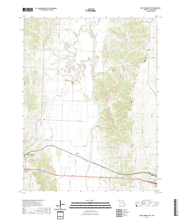
2021 Map of New Cambria East
USGS Topo · Published 2021About this map
The Chariton River carves a complex, meandering path through the heart of this Macon County landscape, creating a broad floodplain flanked by numerous smaller tributaries like Stinking Cr and Elam Cr. This modern survey documents the rural character of the region, anchored by the settlements of New Cambria and Callao along the southern edge. The distribution of several burial grounds, including the Old Chariton Cem and Mount Zion Cem, provides a map for genealogists to trace early family ties to the land. Near the southwestern corner, New Cambria Lake stands as a notable water feature, while the presence of small locales such as Kern and Cash indicates the persistence of established crossroads communities within the wider agricultural network.
Find a feature on this map
60 named features on this map. Tap any name to fly to it.
Don’t see what you’re looking for? This feature index may not catch every label — zoom into the map to look around manually.
Map Details
Editions of this 2021 New Cambria East Map
This is the sole edition of this map. No revisions or reprints were ever made.
Other maps of this area

1937 · Elmer
USGS Topo · 1:48,000

1942 · Elmer
USGS Topo · 1:62,500

1950 · New Cambria West
USGS Topo · 1:24,000

1951 · New Boston
USGS Topo · 1:24,000

1953 · Moberly
USGS Topo · 1:250,000

1953 · Bevier South
USGS Topo · 1:24,000

1953 · Lagonda
USGS Topo · 1:24,000

1953 · Wien
USGS Topo · 1:24,000

1954 · Moberly
USGS Topo · 1:250,000

1957 · Moberly
USGS Topo · 1:250,000