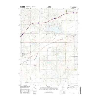
2016 Map of New Carlisle
USGS Topo · Published 2016About this map
New Carlisle anchors the eastern edge of this landscape, situated along the Chicago South Shore and South Bend RR line. The terrain is defined by a dense concentration of glacial lakes and wetlands that straddle the border of LaPorte and Saint Joseph counties. Large water bodies such as Hudson Lake, Saugany Lake, and Pottawattamie Lake dominate the northern half, while smaller features like Finger Lake and Hunt Lake are found further south. These lakes have long supported local settlements like Lake Park and Hillside.
Find a feature on this map
69 named features on this map. Tap any name to fly to it.
Don’t see what you’re looking for? This feature index may not catch every label — zoom into the map to look around manually.
Map Details
Editions of this 2016 New Carlisle Map
This is the sole edition of this map. No revisions or reprints were ever made.
Other maps of this area

1927 · Niles
USGS Topo · 1:62,500

1930 · Three Oaks
USGS Topo · 1:62,500

1930 · Niles
USGS Topo · 1:62,500

1943 · Niles
USGS Topo · 1:62,500

1944 · Three Oaks
USGS Topo · 1:62,500

1953 · Chicago
USGS Topo · 1:250,000

1957 · Chicago
USGS Topo · 1:250,000

1958 · Lydick
USGS Topo · 1:24,000

1958 · Stillwell
USGS Topo · 1:24,000

1958 · North Liberty
USGS Topo · 1:24,000