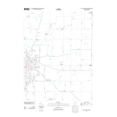
2013 Map of New Castle East
USGS Topo · Published 2013About this map
The Big Blue River and Little Blue River converge in this corner of Henry County, anchoring a landscape defined by small rail-stop settlements and agricultural heritage. The village of Mooreland sits at the northern edge, while the town of Millville and the stop at Pierson Station mark the passage of transportation corridors through the central and southern reaches. Local family histories are reflected in features such as the White Jersey Farm and named drainage works like Hauffman Ditch and Alten Ditch, which converted the natural wetlands into productive farmland.
Find a feature on this map
100 named features on this map. Tap any name to fly to it.
Don’t see what you’re looking for? This feature index may not catch every label — zoom into the map to look around manually.
Map Details
Editions of this 2013 New Castle East Map
This is the sole edition of this map. No revisions or reprints were ever made.
Other maps of this area

1948 · Lewisville
USGS Topo · 1:24,000

1949 · New Castle West
USGS Topo · 1:24,000

1950 · New Castle East
USGS Topo · 1:24,000

1950 · Dunreith
USGS Topo · 1:24,000

1950 · Lewisville
USGS Topo · 1:24,000

1953 · Cincinnati
USGS Topo · 1:250,000

1953 · Muncie
USGS Topo · 1:250,000

1956 · Muncie
USGS Topo · 1:250,000

1957 · Cincinnati
USGS Topo · 1:250,000

1960 · New Castle West
USGS Topo · 1:24,000