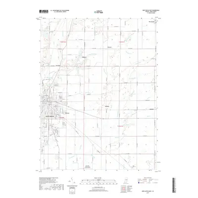
2019 Map of New Castle East
USGS Topo · Published 2019About this map
New Castle and its eastern environs are defined by a complex network of waterways and early Indiana settlements in this modern topographic study. The city extends eastward through Belmont, while smaller communities like Hillsboro, Ashland, and Mooreland dot the rural landscape. The hydrologic pattern is particularly dense here, where the Big Blue River, Little Blue River, and Flatrock River all flow through the Henry County countryside. Genealogists will find interest in several localized burial grounds, including Livezey Cem near Battle Brook and Kessinger Cem on the eastern edge. Modern infrastructure is represented by the New Castle- Henry County Municipal Airport and the Wilbur Wright Trail, illustrating how historical rail corridors and rural roads have evolved into contemporary transit and recreation paths.
Find a feature on this map
146 named features on this map. Tap any name to fly to it.
Don’t see what you’re looking for? This feature index may not catch every label — zoom into the map to look around manually.
Map Details
Editions of this 2019 New Castle East Map
This is the sole edition of this map. No revisions or reprints were ever made.
Other maps of this area

1948 · Lewisville
USGS Topo · 1:24,000

1949 · New Castle West
USGS Topo · 1:24,000

1950 · New Castle East
USGS Topo · 1:24,000

1950 · Dunreith
USGS Topo · 1:24,000

1950 · Lewisville
USGS Topo · 1:24,000

1953 · Cincinnati
USGS Topo · 1:250,000

1953 · Muncie
USGS Topo · 1:250,000

1956 · Muncie
USGS Topo · 1:250,000

1957 · Cincinnati
USGS Topo · 1:250,000

1960 · New Castle West
USGS Topo · 1:24,000