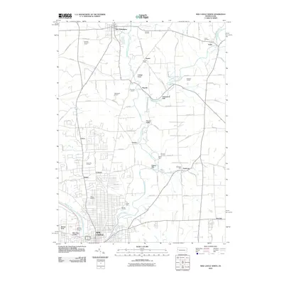
2010 Map of New Castle North
USGS Topo · Published 2010About this map
Neshannock Creek winds through the heart of Lawrence County, linking a series of historic small settlements and industrial-era crossroads north of the city. The landscape is dotted with genealogical markers, from Saint Josephs Cemetery and Oak Park Cemetery in the southern urban fringe to Fair Oaks Cemetery near the northern boundary. Small communities like Fayette, Cottage Grove, and Neshannock Falls are woven together by a network of rural roads such as Old Plank Rd and Beechwood Rd, reflecting a region defined by agricultural traditions and localized river industries.
Find a feature on this map
82 named features on this map. Tap any name to fly to it.
Don’t see what you’re looking for? This feature index may not catch every label — zoom into the map to look around manually.
Map Details
Editions of this 2010 New Castle North Map
This is the sole edition of this map. No revisions or reprints were ever made.
Other maps of this area

1902 · New Castle
USGS Topo · 1:62,500

1904 · Newcastle
USGS Topo · 1:62,500

1905 · Neshannock
USGS Topo · 1:62,500

1907 · Neshannock
USGS Topo · 1:62,500

1908 · Zelienople
USGS Topo · 1:62,500

1910 · Zelienople
USGS Topo · 1:62,500

1913 · Mercer
USGS Topo · 1:62,500

1939 · Mercer
USGS Topo · 1:62,500

1943 · Mercer
USGS Topo · 1:62,500

1950 · Cleveland
USGS Topo · 1:250,000