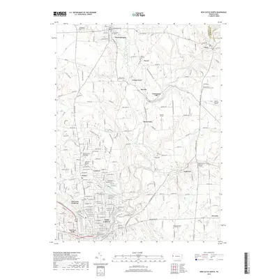
2019 Map of New Castle North
USGS Topo · Published 2019About this map
Westminster College anchors the northern landscape of this survey, situated within the borough of New Wilmington. The area is defined by the winding course of Neshannock Creek and its many tributaries like Little Neshannock Creek and Hottenbaugh Run. This region of Lawrence County shows a distinct pattern of small settlements and crossroad hamlets, including Fayette, Volant, and Neshannock Falls.
Find a feature on this map
136 named features on this map. Tap any name to fly to it.
Don’t see what you’re looking for? This feature index may not catch every label — zoom into the map to look around manually.
Map Details
Editions of this 2019 New Castle North Map
This is the sole edition of this map. No revisions or reprints were ever made.
Other maps of this area

1902 · New Castle
USGS Topo · 1:62,500

1904 · Newcastle
USGS Topo · 1:62,500

1905 · Neshannock
USGS Topo · 1:62,500

1907 · Neshannock
USGS Topo · 1:62,500

1908 · Zelienople
USGS Topo · 1:62,500

1910 · Zelienople
USGS Topo · 1:62,500

1913 · Mercer
USGS Topo · 1:62,500

1939 · Mercer
USGS Topo · 1:62,500

1943 · Mercer
USGS Topo · 1:62,500

1950 · Cleveland
USGS Topo · 1:250,000