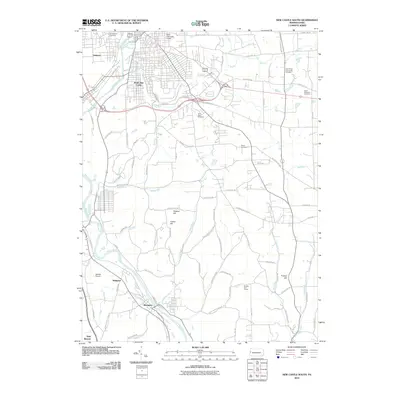
2010 Map of New Castle South
USGS Topo · Published 2010About this map
The Shenango River and Neshannock Creek converge in this industrial corridor, shaping the development of South New Castle and the neighboring community of Oakland. By 2010, the landscape reveals a dense network of transit and community infrastructure, characterized by numerous burial grounds including Saint Philip and James Cemetery, Saint Nicholas Cemetery, and the Polish Cemetery.
Find a feature on this map
70 named features on this map. Tap any name to fly to it.
Don’t see what you’re looking for? This feature index may not catch every label — zoom into the map to look around manually.
Map Details
Editions of this 2010 New Castle South Map
This is the sole edition of this map. No revisions or reprints were ever made.
Other maps of this area

1902 · New Castle
USGS Topo · 1:62,500

1904 · Newcastle
USGS Topo · 1:62,500

1905 · Neshannock
USGS Topo · 1:62,500

1907 · Neshannock
USGS Topo · 1:62,500

1908 · Zelienople
USGS Topo · 1:62,500

1910 · Zelienople
USGS Topo · 1:62,500

1913 · Mercer
USGS Topo · 1:62,500

1939 · Mercer
USGS Topo · 1:62,500

1943 · Mercer
USGS Topo · 1:62,500

1950 · Cleveland
USGS Topo · 1:250,000