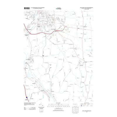
2013 Map of New Castle South
USGS Topo · Published 2013About this map
Mahoningtown and South New Castle anchor this detailed study of the industrial and residential landscape south of the city. The convergence of the Shenango River and Neshannock Cr gives way to the broader Beaver River valley, where the rail infrastructure at New Castle Junction and West Pittsburg illustrates the region’s long-standing connection to transportation and manufacturing. Small communities like Castlewood, Energy, and Duckrun dot the eastern heights above the river, connected by a network of established roads such as Old Butler Rd and Harmony Baptist Rd.
Find a feature on this map
71 named features on this map. Tap any name to fly to it.
Don’t see what you’re looking for? This feature index may not catch every label — zoom into the map to look around manually.
Map Details
Editions of this 2013 New Castle South Map
This is the sole edition of this map. No revisions or reprints were ever made.
Other maps of this area

1902 · New Castle
USGS Topo · 1:62,500

1904 · Newcastle
USGS Topo · 1:62,500

1905 · Neshannock
USGS Topo · 1:62,500

1907 · Neshannock
USGS Topo · 1:62,500

1908 · Zelienople
USGS Topo · 1:62,500

1910 · Zelienople
USGS Topo · 1:62,500

1913 · Mercer
USGS Topo · 1:62,500

1939 · Mercer
USGS Topo · 1:62,500

1943 · Mercer
USGS Topo · 1:62,500

1950 · Cleveland
USGS Topo · 1:250,000