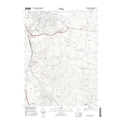
2016 Map of New Castle South
USGS Topo · Published 2016About this map
The Beaver River and its industrial corridor dominate this landscape south of New Castle, where long-standing transport networks converge. The B & O RR and major rail infrastructure at New Castle Junction illustrate the region's historical role as a freight hub. Moving south from the city limits, a dense network of residential and industrial settlements like Mahoningtown, West Pittsburg, and Chewton line the river valley, while the uplands transition into cemetery grounds and smaller hamlets. Several significant burial sites, including Saint Vitus Cem, Polish Cem, and Saint Philip and James Cem, provide valuable points of reference for genealogists. The topography is marked by several prominent rises such as Turkey Hill and Fridays Hill, which overlook the winding paths of McKee Run and Hell Run as they feed into the primary river system.
Find a feature on this map
81 named features on this map. Tap any name to fly to it.
Don’t see what you’re looking for? This feature index may not catch every label — zoom into the map to look around manually.
Map Details
Editions of this 2016 New Castle South Map
This is the sole edition of this map. No revisions or reprints were ever made.
Other maps of this area

1902 · New Castle
USGS Topo · 1:62,500

1904 · Newcastle
USGS Topo · 1:62,500

1905 · Neshannock
USGS Topo · 1:62,500

1907 · Neshannock
USGS Topo · 1:62,500

1908 · Zelienople
USGS Topo · 1:62,500

1910 · Zelienople
USGS Topo · 1:62,500

1913 · Mercer
USGS Topo · 1:62,500

1939 · Mercer
USGS Topo · 1:62,500

1943 · Mercer
USGS Topo · 1:62,500

1950 · Cleveland
USGS Topo · 1:250,000