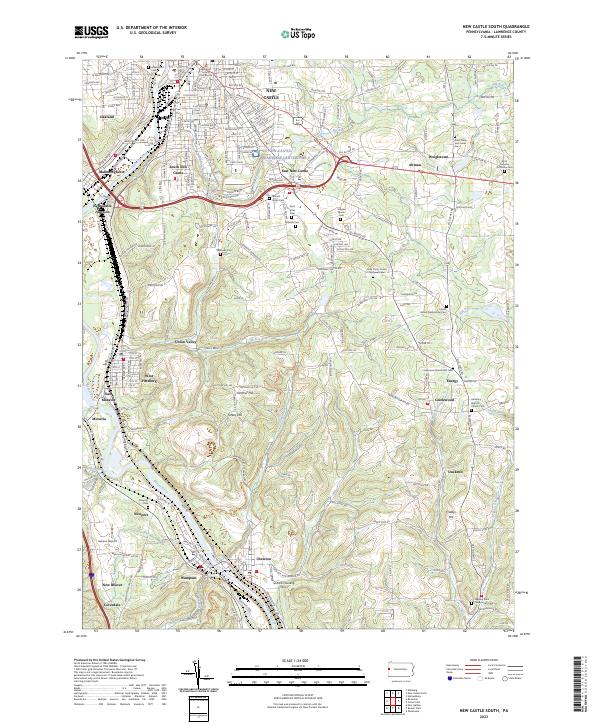
2023 Map of New Castle South
USGS Topo · Published 2023About this map
The confluence of the Shenango River and Beaver River anchors this Lawrence County landscape, defining the industrial and transit corridors of New Castle and its southern suburbs. The map reveals a dense network of early 21st-century infrastructure, where the Lawrence County Courthouse stands at the urban heart while New Castle Junction and Mahoningtown illustrate the area's deep ties to rail transport. The terrain rises sharply away from the river valleys toward landmarks like Cochran Hill and Turkey Hill, with the southern reaches transitioning into smaller hamlets such as Wampum and Chewton.
Find a feature on this map
200 named features on this map. Tap any name to fly to it.
Don’t see what you’re looking for? This feature index may not catch every label — zoom into the map to look around manually.
Map Details
Editions of this 2023 New Castle South Map
This is the sole edition of this map. No revisions or reprints were ever made.
Other maps of this area

1902 · New Castle
USGS Topo · 1:62,500

1904 · Newcastle
USGS Topo · 1:62,500

1905 · Neshannock
USGS Topo · 1:62,500

1907 · Neshannock
USGS Topo · 1:62,500

1908 · Zelienople
USGS Topo · 1:62,500

1910 · Zelienople
USGS Topo · 1:62,500

1913 · Mercer
USGS Topo · 1:62,500

1939 · Mercer
USGS Topo · 1:62,500

1943 · Mercer
USGS Topo · 1:62,500

1950 · Cleveland
USGS Topo · 1:250,000