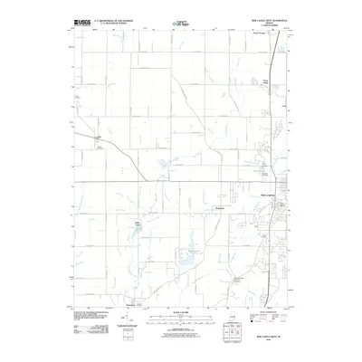
2010 Map of New Castle West
USGS Topo · Published 2010About this map
The western outskirts of New Castle and the rural townships of Henry County define this landscape, where the Big Blue River and its numerous tributaries like Duck Creek and Montgomery Creek carve through the glacial till of east-central Indiana. Several small crossroads and rail-aligned settlements dot the quadrangle, including Cadiz, Mount Lawn, and the industrial-tinged Fayne Siding to the north.
Find a feature on this map
100 named features on this map. Tap any name to fly to it.
Don’t see what you’re looking for? This feature index may not catch every label — zoom into the map to look around manually.
Map Details
Editions of this 2010 New Castle West Map
This is the sole edition of this map. No revisions or reprints were ever made.
Other maps of this area

1948 · Lewisville
USGS Topo · 1:24,000

1949 · New Castle West
USGS Topo · 1:24,000

1950 · New Castle East
USGS Topo · 1:24,000

1950 · Dunreith
USGS Topo · 1:24,000

1950 · Lewisville
USGS Topo · 1:24,000

1953 · Cincinnati
USGS Topo · 1:250,000

1953 · Muncie
USGS Topo · 1:250,000

1956 · Muncie
USGS Topo · 1:250,000

1957 · Cincinnati
USGS Topo · 1:250,000

1960 · New Castle West
USGS Topo · 1:24,000