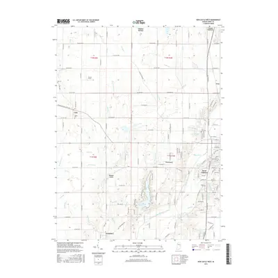
2016 Map of New Castle West
USGS Topo · Published 2016About this map
The Big Blue River snakes through this portion of Henry County, anchoring a landscape defined by small crossroads settlements and the western outskirts of New Castle. The significant Westwood Park reservoir dominates the central geography, surrounded by a dense network of county roads like S Greensboro Pike and N Sulphur Springs Rd that connect rural communities. Genealogists will find several notable burial sites throughout the townships, including South Mound Cem, Quaker Cem, and Hess Cem near the western border.
Find a feature on this map
120 named features on this map. Tap any name to fly to it.
Don’t see what you’re looking for? This feature index may not catch every label — zoom into the map to look around manually.
Map Details
Editions of this 2016 New Castle West Map
This is the sole edition of this map. No revisions or reprints were ever made.
Other maps of this area

1948 · Lewisville
USGS Topo · 1:24,000

1949 · New Castle West
USGS Topo · 1:24,000

1950 · New Castle East
USGS Topo · 1:24,000

1950 · Dunreith
USGS Topo · 1:24,000

1950 · Lewisville
USGS Topo · 1:24,000

1953 · Cincinnati
USGS Topo · 1:250,000

1953 · Muncie
USGS Topo · 1:250,000

1956 · Muncie
USGS Topo · 1:250,000

1957 · Cincinnati
USGS Topo · 1:250,000

1960 · New Castle West
USGS Topo · 1:24,000