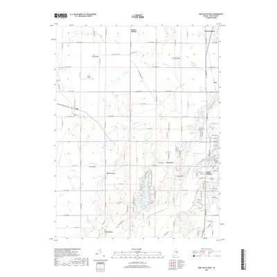
2019 Map of New Castle West
USGS Topo · Published 2019About this map
New Castle serves as the eastern anchor for this Henry County landscape, where the urban grid of the city's west side gives way to a network of rural townships and winding waterways. The Big Blue River and Westwood Run feed into the prominent Westwood Park Reservoir, a central geographic feature surrounded by specialized recreation paths like the Stout Woods Trail. Smaller villages such as Sulphur Springs, Cadiz, and Greensboro are linked by a precise grid of county roads, reflecting the organized agricultural development of central Indiana.
Find a feature on this map
141 named features on this map. Tap any name to fly to it.
Don’t see what you’re looking for? This feature index may not catch every label — zoom into the map to look around manually.
Map Details
Editions of this 2019 New Castle West Map
This is the sole edition of this map. No revisions or reprints were ever made.
Other maps of this area

1948 · Lewisville
USGS Topo · 1:24,000

1949 · New Castle West
USGS Topo · 1:24,000

1950 · New Castle East
USGS Topo · 1:24,000

1950 · Dunreith
USGS Topo · 1:24,000

1950 · Lewisville
USGS Topo · 1:24,000

1953 · Cincinnati
USGS Topo · 1:250,000

1953 · Muncie
USGS Topo · 1:250,000

1956 · Muncie
USGS Topo · 1:250,000

1957 · Cincinnati
USGS Topo · 1:250,000

1960 · New Castle West
USGS Topo · 1:24,000