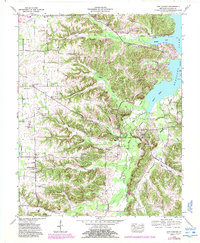
1955 Map of New Concord
USGS Topo · Published 1988About this map
The Blood River and Kentucky Lake define the eastern edge of this Calloway County landscape, where the Tennessee Valley Authority documented the transition of rural terrain in the mid-20th century. The settlement of Pottertown sits in the north, while New Concord and New Providence anchor the southern reaches, connected by a network of local routes like Exell Road and Memorial Road.
Find a feature on this map
44 named features on this map. Tap any name to fly to it.
Don’t see what you’re looking for? This feature index may not catch every label — zoom into the map to look around manually.
Map Details
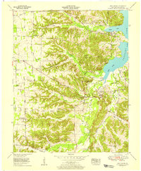
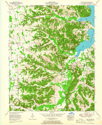
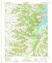
Editions of this 1955 New Concord Map
4 editions found
Other maps of this area

1936 · Conyersville
USGS Topo · 1:24,000

1936 · Buchanan
USGS Topo · 1:24,000

1936 · Hazel
USGS Topo · 1:24,000

1936 · New Concord
USGS Topo · 1:24,000

1936 · Hamlin
USGS Topo · 1:24,000

1936 · Centerville Landing
USGS Topo · 1:24,000

1936 · Rushing
USGS Topo · 1:24,000

1936 · Dexter
USGS Topo · 1:24,000

1936 · Hico
USGS Topo · 1:24,000

1942 · New Concord
USGS Topo · 1:24,000