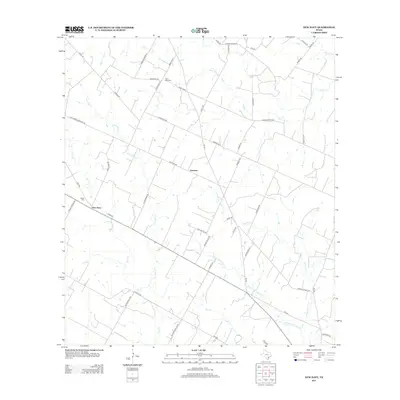
2013 Map of New Davy
USGS Topo · Published 2013About this map
Gruenau and New Davy anchor this rural DeWitt County landscape, defined by a complex network of creeks and family-named roads. The drainage pattern is led by Fifteenmile Coleto Cr and Little Salt Cr, which carve through the terrain alongside numerous tributaries like Yorktown Cr and Clear Cr. This modern survey preserves the locations of early local landmarks, including the House Cem and Sand Gate Cem, which are vital for genealogical research in the area.
Find a feature on this map
55 named features on this map. Tap any name to fly to it.
Don’t see what you’re looking for? This feature index may not catch every label — zoom into the map to look around manually.
Map Details
Editions of this 2013 New Davy Map
This is the sole edition of this map. No revisions or reprints were ever made.
Other maps of this area

1920 · Smiley
USGS Topo · 1:125,000

1953 · Beeville
USGS Topo · 1:250,000

1953 · Seguin
USGS Topo · 1:250,000

1956 · Beeville
USGS Topo · 1:250,000

1958 · Seguin
USGS Topo · 1:250,000

1960 · Beeville
USGS Topo · 1:250,000

1960 · Blackwell Lake
USGS Topo · 1:24,000

1960 · Westhoff
USGS Topo · 1:24,000

1961 · Sample
USGS Topo · 1:24,000

1961 · New Davy
USGS Topo · 1:24,000